
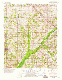
1944 Map of Hernando
USGS Topo · Published 1946About this map
The Coldwater River meanders across this landscape south of the Tennessee Mississippi state line, captured here during a period of significant hydraulic transition. The lower reaches of the map show the Arkabutla Reservoir at its flood and normal pool stages, a major mid-century flood control project that altered the local topography. This rural territory is anchored by Hernando and Olive Branch, with the landscape between them densely dotted with family-named landmarks and community hubs such as Ingrams Mill and Stonewall.
Find a feature on this map
120 named features on this map. Tap any name to fly to it.
Don’t see what you’re looking for? This feature index may not catch every label — zoom into the map to look around manually.
Map Details
Editions of this 1944 Hernando Map
3 editions found
Other maps of this area

1916 · Memphis
USGS Topo · 1:62,500

1925 · Memphis
USGS Topo · 1:48,000

1927 · Memphis
USGS Topo · 1:62,500

1932 · Horn Lake
USGS Topo · 1:48,000

1932 · Crenshaw
USGS Topo · 1:62,500

1935 · Crenshaw
USGS Topo · 1:62,500

1935 · Horn Lake
USGS Topo · 1:62,500

1939 · Memphis
USGS Topo · 1:62,500

1943 · Collierville
USGS Topo · 1:62,500

1944 · Senatobia
USGS Topo · 1:62,500