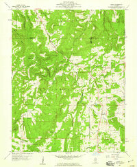
1959 Map of Herod
USGS Topo · Published 1960About this map
Shawnee National Forest dominates this landscape, characterized by isolated peaks and deep hollows such as Beartrack Hollow and Lockwood Hollow. The settlement of Herod sits at the junction of Gibbons Creek and Williams Hill, where small-scale industry and rural life converged in the late 1950s. The map reveals a tight-knit community structure, evidenced by the numerous country churches like New Hope Ch and Bethesda Ch, alongside rural schoolhouses including Williams Sch and Crossroads Sch.
Find a feature on this map
66 named features on this map. Tap any name to fly to it.
Don’t see what you’re looking for? This feature index may not catch every label — zoom into the map to look around manually.
Map Details
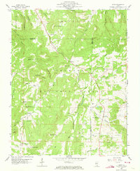
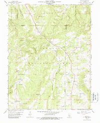
Editions of this 1959 Herod Map
3 editions found
Other maps of this area

1916 · Golconda
USGS Topo · 1:62,500

1916 · Equality
USGS Topo · 1:62,500

1917 · Brownfield
USGS Topo · 1:62,500

1920 · Goloonda
USGS Topo · 1:48,000

1921 · Golconda
USGS Topo · 1:62,500

1925 · Harrisburg
USGS Topo · 1:62,500

1939 · Harrisburg
USGS Topo · 1:62,500

1949 · Paducah
USGS Topo · 1:250,000

1950 · Paducah
USGS Topo · 1:250,000

1954 · Paducah
USGS Topo · 1:250,000