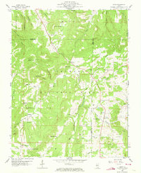
1959 Map of Herod
USGS Topo · Published 1973About this map
Independence Mountain and Wamble Mountain dominate the northern terrain of this southern Illinois landscape, part of the Shawnee National Forest. The 1959 survey reveals a rural network of small communities and family landmarks, with the settlement of Herod located along the banks of Gibbons Creek. This area was historically shaped by local industry and resource extraction, evidenced by the Empire Mine and Red Mine situated near Big Grand Pierre Creek.
Find a feature on this map
65 named features on this map. Tap any name to fly to it.
Don’t see what you’re looking for? This feature index may not catch every label — zoom into the map to look around manually.
Map Details
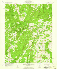
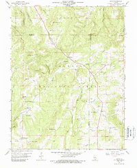
Editions of this 1959 Herod Map
3 editions found
Other maps of this area

1916 · Golconda
USGS Topo · 1:62,500

1916 · Equality
USGS Topo · 1:62,500

1917 · Brownfield
USGS Topo · 1:62,500

1920 · Goloonda
USGS Topo · 1:48,000

1921 · Golconda
USGS Topo · 1:62,500

1925 · Harrisburg
USGS Topo · 1:62,500

1939 · Harrisburg
USGS Topo · 1:62,500

1949 · Paducah
USGS Topo · 1:250,000

1950 · Paducah
USGS Topo · 1:250,000

1954 · Paducah
USGS Topo · 1:250,000