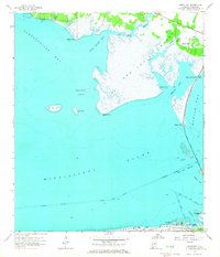
1958 Map of Heron Bay
USGS Topo · Published 1966About this map
Mon Louis Island and the marshy reaches of Portersville Bay dominate this coastal landscape, illustrating the intricate network of bayous and sounds in Mobile County during the late 1950s. The map captures a critical transition point for local transit, showing the Bridge (Toll) connecting the mainland at Cedar Point to Dauphin Island across the waters of Grants Pass. This period shows the coastal road network taking shape with Bienville Blvd stretching across the island's northern shore near Lafitte Bay.
Find a feature on this map
38 named features on this map. Tap any name to fly to it.
Don’t see what you’re looking for? This feature index may not catch every label — zoom into the map to look around manually.
Map Details
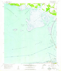
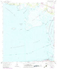
Editions of this 1958 Heron Bay Map
3 editions found
Other maps of this area

1921 · Grand Bay
USGS Topo · 1:62,500

1921 · Petit Bois Island
USGS Topo · 1:62,500

1921 · Dauphin Island
USGS Topo · 1:62,500

1921 · Delchamps
USGS Topo · 1:62,500

1941 · Cedar Point
USGS Topo · 1:62,500

1942 · Petit Bois Island
USGS Topo · 1:62,500

1942 · Fort Morgan
USGS Topo · 1:62,500

1943 · Cedar Point
USGS Topo · 1:62,500

1943 · Grand Bay
USGS Topo · 1:62,500

1953 · Mobile
USGS Topo · 1:250,000