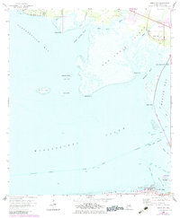
1958 Map of Heron Bay
USGS Topo · Published 1983About this map
Mon Louis Island and the marshy expanses of Heron Bay anchor this coastal landscape, which was updated in the early 1980s to reflect contemporary development. The map details the transition from the mainland to the Gulf, highlighting the essential maritime corridors of the Intracoastal Waterway, Grants Pass, and Herons Pass. Along the southern edge, the western end of Dauphin Island shows established infrastructure such as Bienville Blvd and the Dauphin Island Landing Strip near Pt Isabel. This survey provides a precise look at the shifting shorelines of Portersville Bay and Mississippi Sound, capturing the area before significant modern coastal changes. Smaller features like the Cem near the settlement of Heron Bay and family-named landmarks like Sullivan Bayou offer specific points of interest for genealogists tracing local history along the Mobile County coast.
Find a feature on this map
39 named features on this map. Tap any name to fly to it.
Don’t see what you’re looking for? This feature index may not catch every label — zoom into the map to look around manually.
Map Details
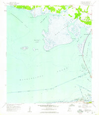
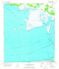
Editions of this 1958 Heron Bay Map
3 editions found
Other maps of this area

1921 · Grand Bay
USGS Topo · 1:62,500

1921 · Petit Bois Island
USGS Topo · 1:62,500

1921 · Dauphin Island
USGS Topo · 1:62,500

1921 · Delchamps
USGS Topo · 1:62,500

1941 · Cedar Point
USGS Topo · 1:62,500

1942 · Petit Bois Island
USGS Topo · 1:62,500

1942 · Fort Morgan
USGS Topo · 1:62,500

1943 · Cedar Point
USGS Topo · 1:62,500

1943 · Grand Bay
USGS Topo · 1:62,500

1953 · Mobile
USGS Topo · 1:250,000