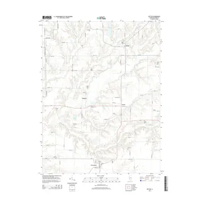
2015 Map of Hettick
USGS Topo · Published 2015About this map
Chesterfield and Hettick anchor this Macoupin County landscape, where the prairie is deeply incised by the drainage systems of Otter Cr and Bear Cr. The map reveals a high density of small rural burial sites and family plots, reflecting the deep genealogical roots of the area. Notable locations include the Saint Catherine Cem and Upton Family Cem, alongside established congregations at Gilead Baptist Cem and Shiloh Baptist Cem. Small settlements like Hagaman, Reader, and Enos are linked by a grid of country roads such as Reader Rd and Hagaman Rd. Educational history is preserved through the naming of the Jacobie School, situated west of Lick Cr. The terrain is characterized by the branching tributaries of Solomon Cr and Nassa Cr, which create complex relief patterns across an otherwise agricultural plateau.
Find a feature on this map
77 named features on this map. Tap any name to fly to it.
Don’t see what you’re looking for? This feature index may not catch every label — zoom into the map to look around manually.
Map Details
Editions of this 2015 Hettick Map
This is the sole edition of this map. No revisions or reprints were ever made.
Other maps of this area

1912 · Gillespie
USGS Topo · 1:62,500

1915 · Gillespie
USGS Topo · 1:62,500

1923 · Carlinville
USGS Topo · 1:48,000

1925 · Carlinville
USGS Topo · 1:62,500

1925 · Brighton
USGS Topo · 1:62,500

1928 · Brighton
USGS Topo · 1:62,500

1931 · Carlinville
USGS Topo · 1:62,500

1932 · Greenfield
USGS Topo · 1:62,500

1948 · Quincy
USGS Topo · 1:250,000

1956 · Quincy
USGS Topo · 1:250,000