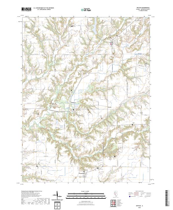
2024 Map of Hettick
USGS Topo · Published 2024About this map
Hettick serves as the focal point of this Macoupin County landscape, where small hamlets and family burial grounds dot the agricultural terrain. The map traces the winding paths of Otter Creek and Lick Creek as they cut through the rural countryside, defining the local topography. For genealogists and local historians, the sheet preserves the locations of numerous small cemeteries including the Upton Family Cem, Stults Cem, and Witt Cem, which are often the last physical markers of early pioneer families in the area.
Find a feature on this map
67 named features on this map. Tap any name to fly to it.
Don’t see what you’re looking for? This feature index may not catch every label — zoom into the map to look around manually.
Map Details
Editions of this 2024 Hettick Map
This is the sole edition of this map. No revisions or reprints were ever made.
Other maps of this area

1912 · Gillespie
USGS Topo · 1:62,500

1915 · Gillespie
USGS Topo · 1:62,500

1923 · Carlinville
USGS Topo · 1:48,000

1925 · Carlinville
USGS Topo · 1:62,500

1925 · Brighton
USGS Topo · 1:62,500

1928 · Brighton
USGS Topo · 1:62,500

1931 · Carlinville
USGS Topo · 1:62,500

1932 · Greenfield
USGS Topo · 1:62,500

1948 · Quincy
USGS Topo · 1:250,000

1956 · Quincy
USGS Topo · 1:250,000