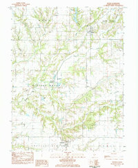
1983 Map of Hettick
USGS Topo · Published 1984About this map
Hettick and Chesterfield serve as the primary hubs in this portion of Macoupin County, illustrating the agricultural and rural settlement patterns of central Illinois in the early 1980s. The landscape is defined by the drainage networks of Otter Creek, Hodges Creek, and Bear Creek, which carve through the townships of Western Mound and Barr. This 1980s field check records a high density of small family and community burial grounds, such as Witt Cem, Stultz Cem, and Lumpkin Cem, providing valuable data for genealogical research into the area's early residents.
Find a feature on this map
38 named features on this map. Tap any name to fly to it.
Don’t see what you’re looking for? This feature index may not catch every label — zoom into the map to look around manually.
Map Details
Editions of this 1983 Hettick Map
This is the sole edition of this map. No revisions or reprints were ever made.
Other maps of this area

1912 · Gillespie
USGS Topo · 1:62,500

1915 · Gillespie
USGS Topo · 1:62,500

1923 · Carlinville
USGS Topo · 1:48,000

1925 · Carlinville
USGS Topo · 1:62,500

1925 · Brighton
USGS Topo · 1:62,500

1928 · Brighton
USGS Topo · 1:62,500

1931 · Carlinville
USGS Topo · 1:62,500

1932 · Greenfield
USGS Topo · 1:62,500

1948 · Quincy
USGS Topo · 1:250,000

1956 · Quincy
USGS Topo · 1:250,000