
1939 Map of Hickman
USGS Topo · Published 1941About this map
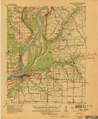
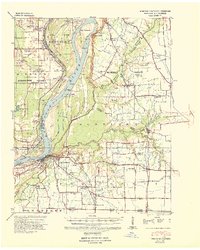
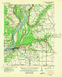
The Mississippi River creates a dynamic western boundary for this Kentucky-Missouri borderland, where the Hickman Bend Revetment and Reefoot Front Revetment document early 20th-century engineering efforts to stabilize the shifting channel. The town of Hickman sits as a vital river hub, supported by the Chattanooga & Nashville RR and surrounded by a dense network of rural infrastructure including the Montgomery Sch and Poplar Grove Ch.
Find a feature on this map
99 named features on this map. Tap any name to fly to it.
Don’t see what you’re looking for? This feature index may not catch every label — zoom into the map to look around manually.
Map Details
Editions of this 1939 Hickman Map
4 editions found
Other maps of this area

1925 · Reelfoot Lake
USGS Topo · 1:62,500

1939 · Wickliffe
USGS Topo · 1:62,500

1939 · Reelfoot Lake
USGS Topo · 1:62,500

1939 · Charleston
USGS Topo · 1:62,500

1939 · Bayouville
USGS Topo · 1:62,500

1951 · Cayce
USGS Topo · 1:24,000

1951 · Bondurant
USGS Topo · 1:24,000

1951 · Oakton
USGS Topo · 1:24,000

1951 · Hickman
USGS Topo · 1:24,000

1951 · Wolf Island
USGS Topo · 1:24,000