
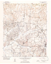
1951 Map of Hickory Valley
USGS Topo · Published 1951About this map
The Illinois Central railroad anchors the landscape of southern Hardeman County at mid-century, cutting through the community of Hickory Valley. This survey reveals a rural landscape deeply organized around local institutions, with an exceptional density of country schools and churches that served as the social backbone of the era. From May Hill Sch near the county line to Jones Grove Sch further north, the placement of these structures follows the winding paths of Mc Kinnie Creek and the North Fork Wolf River.
Find a feature on this map
23 named features on this map. Tap any name to fly to it.
Don’t see what you’re looking for? This feature index may not catch every label — zoom into the map to look around manually.
Map Details
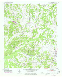
Editions of this 1951 Hickory Valley Map
3 editions found
Other maps of this area

1949 · Moscow
USGS Topo · 1:62,500

1950 · Middleburg
USGS Topo · 1:24,000

1950 · Grand Junction
USGS Topo · 1:24,000

1951 · Middleburg
USGS Topo · 1:24,000

1951 · Grand Junction
USGS Topo · 1:24,000

1952 · Saulsbury
USGS Topo · 1:24,000

1952 · Laconia
USGS Topo · 1:24,000

1952 · Stanton
USGS Topo · 1:62,500

1956 · Blytheville
USGS Topo · 1:250,000

1959 · Blytheville
USGS Topo · 1:250,000