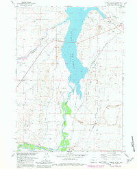
1957 Map of Hidden Valley
USGS Topo · Published 1981About this map
Boysen State Park Reservoir dominates this landscape, where the waters of the Wind River are harnessed for irrigation and recreation. The complex water management system of the mid-20th century is evident through the Pilot Canal and various siphons, supporting the agricultural needs of the Riverton Withdrawal Area. This infrastructure sits adjacent to the Wind River Indian Reservation Boundary, illustrating the overlapping jurisdictions of federal reclamation projects and tribal lands.
Find a feature on this map
34 named features on this map. Tap any name to fly to it.
Don’t see what you’re looking for? This feature index may not catch every label — zoom into the map to look around manually.
Map Details
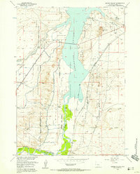
Editions of this 1957 Hidden Valley Map
2 editions found
Other maps of this area

1950 · Riverton East
USGS Topo · 1:24,000

1950 · Bonneville SW
USGS Topo · 1:24,000

1951 · Mexican Pass SE
USGS Topo · 1:24,000

1951 · Fuller Reservoir
USGS Topo · 1:24,000

1951 · Indian Butte
USGS Topo · 1:24,000

1951 · Hidden Valley
USGS Topo · 1:24,000

1951 · Bonneville
USGS Topo · 1:24,000

1951 · Shoshoni
USGS Topo · 1:24,000

1952 · Riverton NE
USGS Topo · 1:24,000

1955 · Thermopolis
USGS Topo · 1:250,000