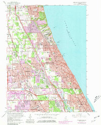
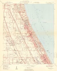
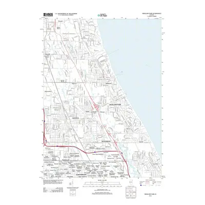
1963 Map of Highland Park
USGS Topo · Published 1981About this map
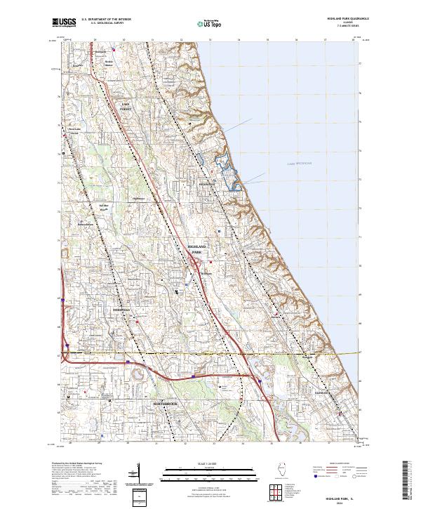
Fort Sheridan and its military reservation dominate the Lake Michigan shoreline, anchoring a landscape where North Shore suburban expansion meets preserved forest tracts. During this mid-century period, the area's transition from country estates and elite sporting grounds to dense residential neighborhoods is evident in the sprawling networks of the Onwentsia Club and Exmoor Country Club alongside newly tinted urban extensions. Educational institutions like Lake Forest College and Barat College define the character of Lake Forest, while the interior is marked by the complex hydrology of the Skokie River and the Skokie Lagoons. Transport corridors including the Chicago and North Western and the Edens Expressway facilitate the growth of communities like Highland Park and Deerfield. The map reveals the meticulous planning of the era, from the numerous neighborhood schools like Wilmot Jr High School to the preserved nature of Chipilly Woods and Sunset Ridge Woods.
Find a feature on this map
142 named features on this map. Tap any name to fly to it.
Don’t see what you’re looking for? This feature index may not catch every label — zoom into the map to look around manually.
Map Details
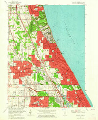
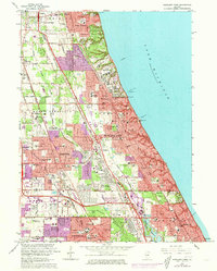
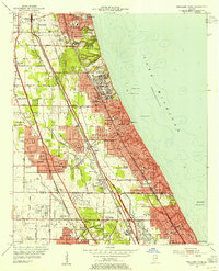
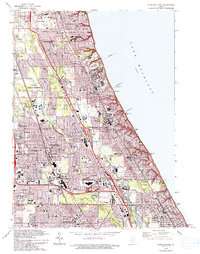
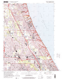
Editions of this 1963 Highland Park Map
3 editions found
Historical Maps of Northbrook Through Time
11 maps found
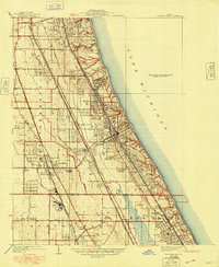
1928 Highland Park
Lake County, IL
1951 Highland Park
Lake County, IL
1953 Highland Park
Lake County, IL
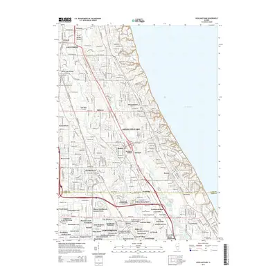
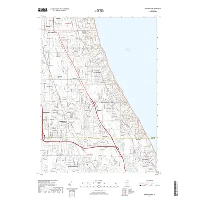
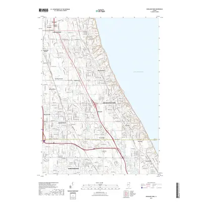
1963 Highland Park
Lake County, IL
1993 Highland Park
Lake County, IL
2000 Highland Park
Lake County, IL
2012 Highland Park
Lake County, IL
2015 Highland Park
Lake County, IL
2018 Highland Park
Lake County, IL
2021 Highland Park
Lake County, IL
2024 Highland Park
Lake County, IL
Featured Locations
- Deerfield, IL
- Lake Forest, IL
- Highland Park, IL
- Glencoe, New Trier Township
- Northbrook, Northfield Township