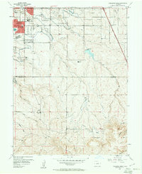
1957 Map of Highlands Ranch
USGS Topo · Published 1961About this map
The Highline Canal winds across this 1957 landscape, serving as a primary water artery through the developing suburbs south of Denver. In the northern reaches, Littleton and Englewood show the beginnings of post-war residential expansion, while Greenwood Village maintains a more dispersed character. Below County Line Road, the terrain shifts toward a ranching economy, centered on the sprawling Highlands Ranch and the outlier Mc Arthur Ranch.
Find a feature on this map
35 named features on this map. Tap any name to fly to it.
Don’t see what you’re looking for? This feature index may not catch every label — zoom into the map to look around manually.
Map Details
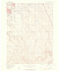
Editions of this 1957 Highlands Ranch Map
2 editions found
Other maps of this area

1890 · East Denver
USGS Topo · 1:125,000

1893 · Platte Canyon
USGS Topo · 1:125,000

1894 · Castle Rock
USGS Topo · 1:125,000

1899 · West Denver
USGS Topo · 1:125,000

1913 · Castle Rock
USGS Topo · 1:125,000

1935 · East Denver Nos. 3 and 4
USGS Topo · 1:48,000

1940 · Englewood
USGS Topo · 1:31,680

1940 · Castle Rock
USGS Topo · 1:62,500

1941 · Fitzsimons
USGS Topo · 1:31,680

1941 · Fort Logan
USGS Topo · 1:31,680