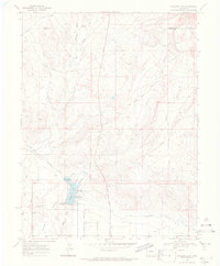
1968 Map of Highline Lake
USGS Topo · Published 1971About this map
Water management and desert recreation define this western Colorado landscape in the late 1960s. The Government Highline Canal cuts across the lower terrain, supporting the agricultural needs of the high desert while feeding into Highline Lake and Mack Mesa Lake. This area, designated as the Highline Lake State Recreational Area, features a Campground and Picnic Area, highlighting the mid-century shift toward outdoor leisure in the Grand Valley region.
Find a feature on this map
27 named features on this map. Tap any name to fly to it.
Don’t see what you’re looking for? This feature index may not catch every label — zoom into the map to look around manually.
Map Details
Editions of this 1968 Highline Lake Map
2 editions found

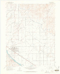
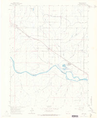
Other maps of this area

1956 · Grand Junction
USGS Topo · 1:250,000

1959 · Grand Junction
USGS Topo · 1:250,000

1960 · Grand Junction
USGS Topo · 1:250,000

1962 · Grand Junction
USGS Topo · 1:250,000
1962 · Fruita
USGS Topo · 1:24,000
1962 · Mack
USGS Topo · 1:24,000

1964 · Grand Junction
USGS Topo · 1:250,000

1965 · Grand Junction
USGS Topo · 1:250,000

1968 · Badger Wash
USGS Topo · 1:24,000
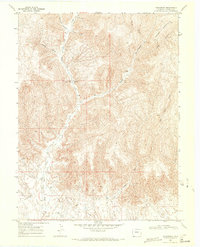
1968 · Carbonera
USGS Topo · 1:24,000