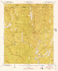
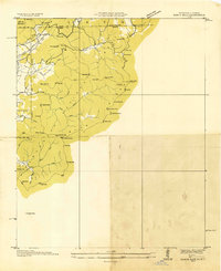
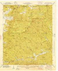
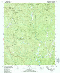
1946 Map of Hightower Bald
USGS Topo · Published 1956This historical map portrays the area of Hightower Bald in 1946, primarily covering Rabun County as well as portions of North Carolina. Featuring a scale of 1:24000, this map provides a highly detailed snapshot of the terrain, roads, buildings, counties, and historical landmarks in the Hightower Bald region at the time. Published in 1956, it is one of 4 known editions of this map due to revisions or reprints.
Find a feature on this map
101 named features on this map. Tap any name to fly to it.
Don’t see what you’re looking for? This feature index may not catch every label — zoom into the map to look around manually.
Map Details
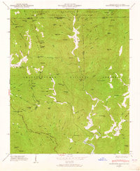
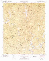
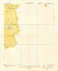
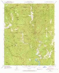
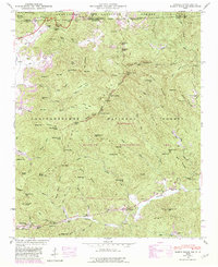
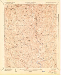
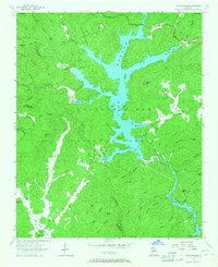
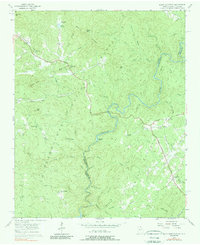
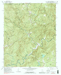
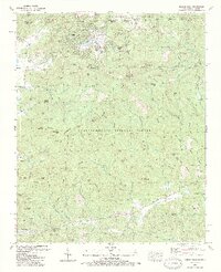
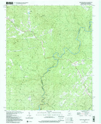
Editions of this 1946 Hightower Bald Map
4 editions found
Historical Maps of Macon County Through Time
12 maps found
1935 Hightower Bald
Rabun County, GA
1935 Rabun Bald
Rabun County, GA
1946 Hightower Bald
Rabun County, GA
1946 Rabun Bald
Rabun County, GA
1947 Hightower Bald
Rabun County, GA
1947 Rabun Bald
Rabun County, GA
1957 Lake Burton
Rabun County, GA
1957 Rainy Mountain
Rabun County, GA
1961 Satolah
Rabun County, GA
1988 Hightower Bald
Rabun County, GA
1988 Rabun Bald
Rabun County, GA
1997 Rainy Mountain
Rabun County, GA