Loading...
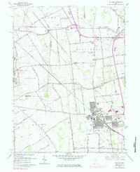
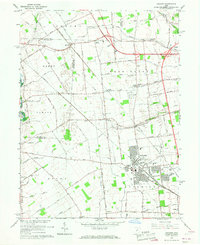
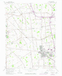
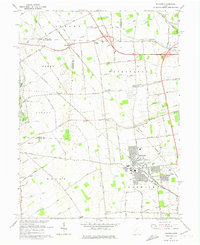
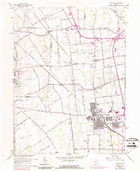
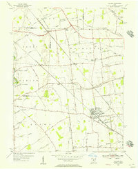
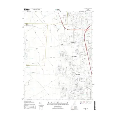
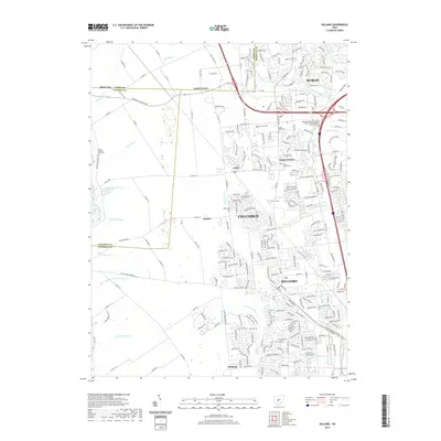
Loading map...1966 Map of Hilliard
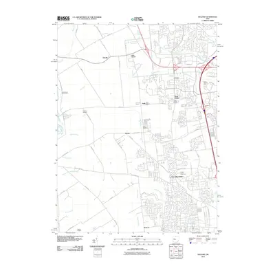
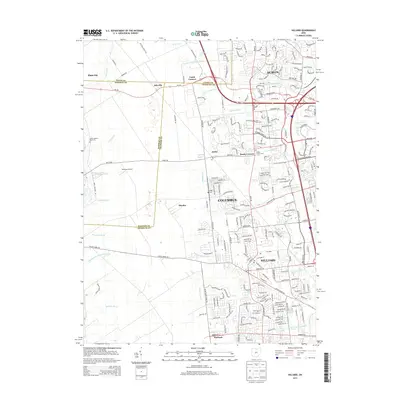
USGS Topo · Published 1984About this map
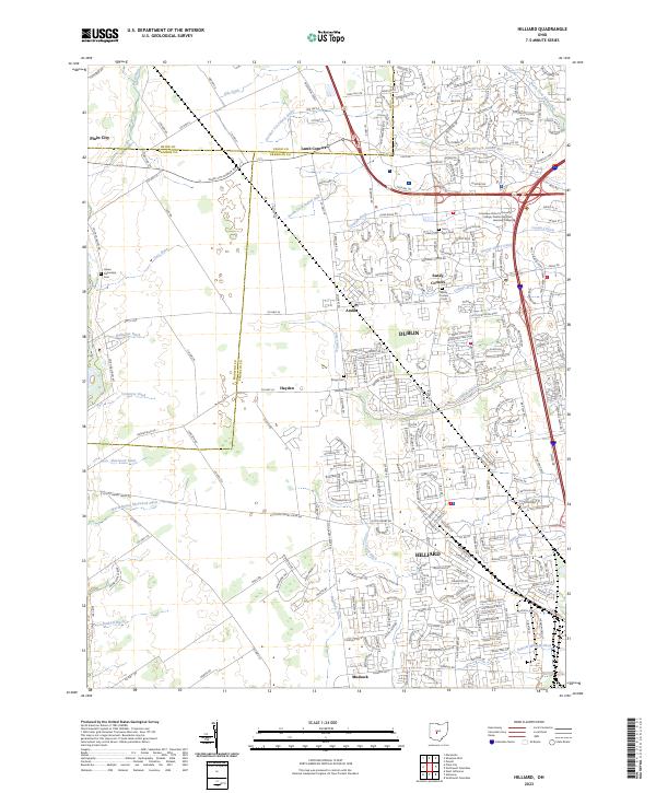
Hilliard serves as the primary hub of activity in this mid-century portrait of Franklin County, showing a period of transition as suburban expansion begins to meet the established agricultural landscape. The village center is clearly defined by its connection to the Penn Central rail line, which also passes through smaller outposts like Amlin and Kileville. Local civic life is anchored by the County Fairground and Hamilton Park, while education centers such as High Sch and Reason Sch serve the growing community.
Find a feature on this map
72 named features on this map. Tap any name to fly to it.
Don’t see what you’re looking for? This feature index may not catch every label — zoom into the map to look around manually.
Map Details
Date Portrayed1966
Date Published1984
PublisherU.S. Geological Survey
Map TypeTopographic
Scale1:24,000
Physical Dimensions22.1 x 27 inches
Editions of this 1966 Hilliard Map
5 editions found
Historical Maps of Columbus Through Time
7 maps found
Featured Locations
Source Details
SourceU.S. Geological Survey
CopyrightPublic Domain