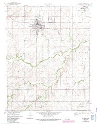
1971 Map of Hillsboro
USGS Topo · Published 1985About this map
Hillsboro serves as the central hub of this Marion County landscape, showing a mid-century town marked by its civic infrastructure and transport links. The community is bordered by the Atchison Topeka and Santa Fe railroad, which runs parallel to the northern edge of the settlement near the Industrial Site. The map reveals a dense concentration of burial grounds that reflect the area's heritage, including the Gnadenau Cem, Haven of Rest Cem, and the Church of God in Christ Cem.
Find a feature on this map
29 named features on this map. Tap any name to fly to it.
Don’t see what you’re looking for? This feature index may not catch every label — zoom into the map to look around manually.
Map Details
Editions of this 1971 Hillsboro Map
2 editions found
Other maps of this area

1889 · Newton
USGS Topo · 1:125,000

1894 · Newton
USGS Topo · 1:125,000

1955 · Hutchinson
USGS Topo · 1:250,000

1957 · Peabody NW
USGS Topo · 1:24,000

1957 · Peabody
USGS Topo · 1:24,000

1959 · Hutchinson
USGS Topo · 1:250,000

1965 · Goessel
USGS Topo · 1:24,000

1971 · Durham
USGS Topo · 1:24,000
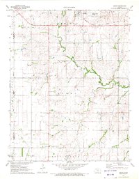
1971 · Lehigh
USGS Topo · 1:24,000
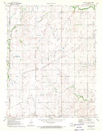
1971 · Waldeck
USGS Topo · 1:24,000