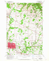
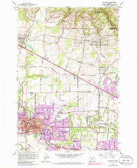
1961 Map of Hillsboro
USGS Topo · Published 1966About this map
The Tualatin Mountains rise along the northern edge of this Tualatin Valley landscape, where rural timberlands meet a developing mid-century transportation hub. The city of Hillsboro serves as the focal point, showing a dense grid of infrastructure including the County Fairgrounds, Tualatin Hospital, and local schools like BW Barnes Sch. This era captures the transition of the valley floor, where agriculture and early land claims like the Historical Marker Joseph L Meek Land Claim coexist with a complex network of steel and asphalt. Three major rail lines—the Spokane Portland and Seattle Railroad, Oregon Electric Railroad, and Southern Pacific Railroad—converge here, connecting small settlements like Orenco, Reedville, and Witch Hazel. Beyond the urban centers, the map documents numerous small community landmarks, from the West Union Cem to the winding course of McKay Creek.
Find a feature on this map
147 named features on this map. Tap any name to fly to it.
Don’t see what you’re looking for? This feature index may not catch every label — zoom into the map to look around manually.
Map Details
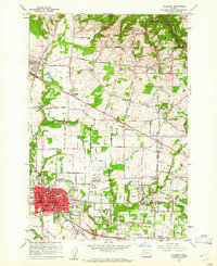
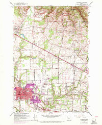
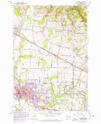
Editions of this 1961 Hillsboro Map
5 editions found
Other maps of this area

1915 · Hillsboro
USGS Topo · 1:62,500

1916 · Tualatin
USGS Topo · 1:62,500

1918 · Hillsboro
USGS Topo · 1:62,500

1939 · Tualatin
USGS Topo · 1:62,500

1940 · Tualatin
USGS Topo · 1:62,500

1940 · Hillsboro
USGS Topo · 1:62,500

1941 · Gales Creek
USGS Topo · 1:62,500

1941 · Yamhill
USGS Topo · 1:62,500

1942 · Yamhill
USGS Topo · 1:62,500

1948 · Vancouver
USGS Topo · 1:250,000