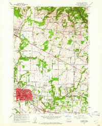
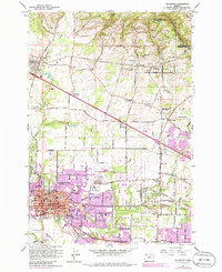
1961 Map of Hillsboro
USGS Topo · Published 1961About this map
The city of Hillsboro serves as the focal point of this early 1960s survey, showing a landscape defined by the convergence of rail lines and expanding suburban infrastructure. Local heritage is captured by the Historical Marker Joseph L Meek Land Claim and established grounds like the Tualatin Plains Cem and West Union Cem. The rail-driven economy of the era is evident in the corridors of the Southern Pacific, Oregon Electric, and Spokane Portland and Seattle railroads that crisscross the valley.
Find a feature on this map
53 named features on this map. Tap any name to fly to it.
Don’t see what you’re looking for? This feature index may not catch every label — zoom into the map to look around manually.
Map Details
Editions of this 1961 Hillsboro Map
5 editions found
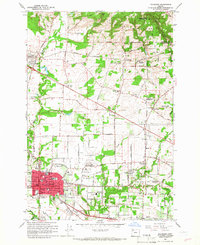
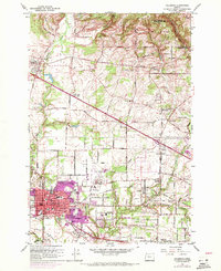
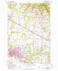
Other maps of this area

1915 · Hillsboro
USGS Topo · 1:62,500

1916 · Tualatin
USGS Topo · 1:62,500

1918 · Hillsboro
USGS Topo · 1:62,500

1939 · Tualatin
USGS Topo · 1:62,500

1940 · Tualatin
USGS Topo · 1:62,500

1940 · Hillsboro
USGS Topo · 1:62,500

1941 · Gales Creek
USGS Topo · 1:62,500

1941 · Yamhill
USGS Topo · 1:62,500

1942 · Yamhill
USGS Topo · 1:62,500

1948 · Vancouver
USGS Topo · 1:250,000