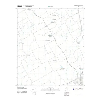
2010 Map of Hillsboro West
USGS Topo · Published 2010About this map
Hillsboro anchor this Hill County landscape, appearing as a significant local hub with its United States Post Office and the prominent Park Ridge Cemetery to the north. The area is characterized by an extensive water management system, illustrated by numerous Soil Conservation Service structures like Site 20 Dam and Site 15 Dam, which manage the drainage of the complex creek network feeding into Katy Lake. Small settlements like Woodbury, Mayfield, and Lovelace dot the countryside, connected by a dense web of farm-to-market and county roads including FM 309 and Co RD 1355. This modern survey details the hydrological infrastructure of the Blackland Prairie region, showing how smaller tributaries like Hackberry Creek and Jacks Branch are harnessed for local grade stabilization and water storage projects.
Find a feature on this map
68 named features on this map. Tap any name to fly to it.
Don’t see what you’re looking for? This feature index may not catch every label — zoom into the map to look around manually.
Map Details
Editions of this 2010 Hillsboro West Map
This is the sole edition of this map. No revisions or reprints were ever made.
Other maps of this area

1891 · Cleburne
USGS Topo · 1:125,000

1892 · Waco
USGS Topo · 1:125,000

1894 · Cleburne
USGS Topo · 1:125,000

1920 · Waco
USGS Topo · 1:125,000

1927 · Blum
USGS Topo · 1:62,500

1931 · Whitney
USGS Topo · 1:62,500

1954 · Dallas
USGS Topo · 1:250,000

1954 · Waco
USGS Topo · 1:250,000

1955 · Waco
USGS Topo · 1:250,000

1956 · Abbott
USGS Topo · 1:24,000