
1920 Map of Hilltonia
USGS Topo · Published 1920About this map
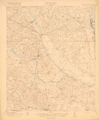
The Savannah River defines the eastern boundary of this 1918-1919 survey, where river-based commerce still anchored the local economy through Burtons Ferry and Jacobsons Landing. Inland, the settlement of Hilltonia serves as a central hub, situated near the headwaters of Beaverdam Creek. The landscape is a network of small agricultural communities and rural school districts, many named for local families or landmarks like Lovett Hill School, Walker School, and the community of Bascom.
Find a feature on this map
58 named features on this map. Tap any name to fly to it.
Don’t see what you’re looking for? This feature index may not catch every label — zoom into the map to look around manually.
Map Details
Editions of this 1920 Hilltonia Map
4 editions found
Other maps of this area

1918 · Oliver
USGS Topo · 1:62,500

1919 · Shirley
USGS Topo · 1:62,500

1919 · Allendale
USGS Topo · 1:62,500

1920 · Ellenton
USGS Topo · 1:48,000

1920 · Millen
USGS Topo · 1:62,500

1920 · Greens Cut
USGS Topo · 1:62,500

1920 · Oliver
USGS Topo · 1:62,500

1920 · Peeples
USGS Topo · 1:62,500

1921 · Rocky Ford
USGS Topo · 1:62,500

1921 · Ellenton
USGS Topo · 1:62,500