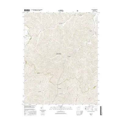
2016 Map of Hima
USGS Topo · Published 2016About this map
Daniel Boone National Forest dominates the central landscape of this territory, where the borders of Laurel, Clay, and Knox Counties converge. The settlement pattern follows the narrow valleys and hollows, with communities like Woollum, Cottongim, and Pigeonroost connected by a network of winding local routes such as Disappointment Rd and Jarvis Br Rd. This 2016 survey illustrates the persistent rural character of southeastern Kentucky, where small named places like Hima and Sibert anchor the northern reaches along the hills. Genealogists and local historians will find value in the specific road names that reflect family legacies, including Harris Cemetery Rd E, Bill Jones Rd, and Smith Hollow, which trace the residential history of the region's diverse topography.
Find a feature on this map
25 named features on this map. Tap any name to fly to it.
Don’t see what you’re looking for? This feature index may not catch every label — zoom into the map to look around manually.
Map Details
Editions of this 2016 Hima Map
This is the sole edition of this map. No revisions or reprints were ever made.
Other maps of this area

1886 · Cumberland Gap
USGS Topo · 1:125,000

1888 · Cumberland Gap
USGS Topo · 1:125,000

1891 · Manchester
USGS Topo · 1:125,000

1891 · Cumberland Gap
USGS Topo · 1:125,000

1903 · Pineville
USGS Topo · 1:48,000

1952 · Portersburg
USGS Topo · 1:24,000

1952 · Heidrick
USGS Topo · 1:24,000

1952 · Hima
USGS Topo · 1:24,000

1952 · Blackwater
USGS Topo · 1:24,000

1952 · Fount
USGS Topo · 1:24,000