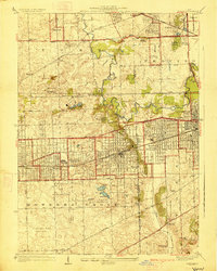
1927 Map of Hinsdale
USGS Topo · Published 1927About this map
Salt Creek meanders through the heart of this landscape, framing the suburban expansion of western Chicago during the late 1920s. The map illustrates a transitional period where established towns like Hinsdale and Western Springs are connected by a dense network of transit, including the Chicago Burlington and Quincy RR and the Illinois Central Railroad. The presence of numerous country clubs, such as the Butterfield Country Club and La Grange Country Club, suggests an era of recreational development and increasing wealth in the region.
Find a feature on this map
62 named features on this map. Tap any name to fly to it.
Don’t see what you’re looking for? This feature index may not catch every label — zoom into the map to look around manually.
Map Details
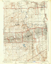
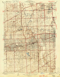
Editions of this 1927 Hinsdale Map
3 editions found
Other maps of this area

1890 · Des Plaines
USGS Topo · 1:62,500

1891 · Riverside
USGS Topo · 1:62,500

1892 · Joliet
USGS Topo · 1:62,500

1893 · Riverside
USGS Topo · 1:62,500

1894 · Des Plaines
USGS Topo · 1:62,500

1900 · Des Plaines
USGS Topo · 1:62,500

1900 · Riverside
USGS Topo · 1:62,500

1901 · Des Plaines
USGS Topo · 1:62,500

1901 · Riverside
USGS Topo · 1:62,500

1908 · Wheaton
USGS Topo · 1:62,500