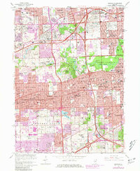
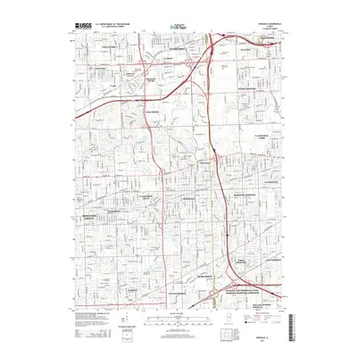
1963 Map of Hinsdale
USGS Topo · Published 1964About this map
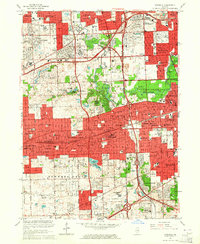
Hinsdale and its neighboring Cook and DuPage County suburbs are shown during a period of rapid post-war expansion, with residential developments pressing against established estates and institutions. The landscape is defined by a heavy concentration of memorial parks and academic grounds, including the expansive Mt Carmel Cemetery and Queen of Heaven Cemetery in the northeast. The educational character of the era is evident through numerous private institutions such as the St Joseph Military Academy, Nazareth Academy, and the Township Junior College.
Find a feature on this map
138 named features on this map. Tap any name to fly to it.
Don’t see what you’re looking for? This feature index may not catch every label — zoom into the map to look around manually.
Map Details
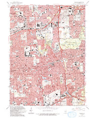
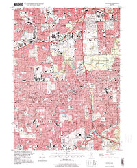
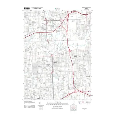
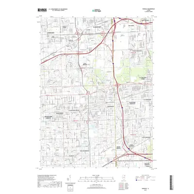
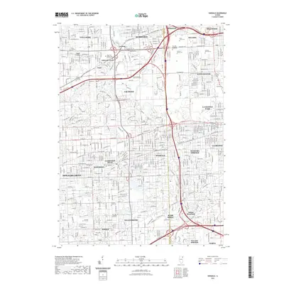
Editions of this 1963 Hinsdale Map
3 editions found
Historical Maps of Downers Grove Through Time
10 maps found
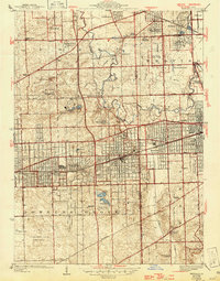
1927 Hinsdale
DuPage County, IL
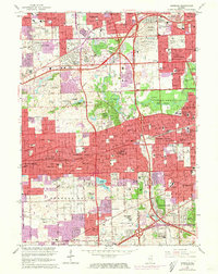
1953 Hinsdale
DuPage County, IL
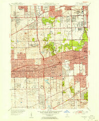
1963 Hinsdale
DuPage County, IL
1993 Hinsdale
DuPage County, IL
1997 Hinsdale
DuPage County, IL
2012 Hinsdale
DuPage County, IL
2015 Hinsdale
DuPage County, IL
2018 Hinsdale
DuPage County, IL
2021 Hinsdale
DuPage County, IL
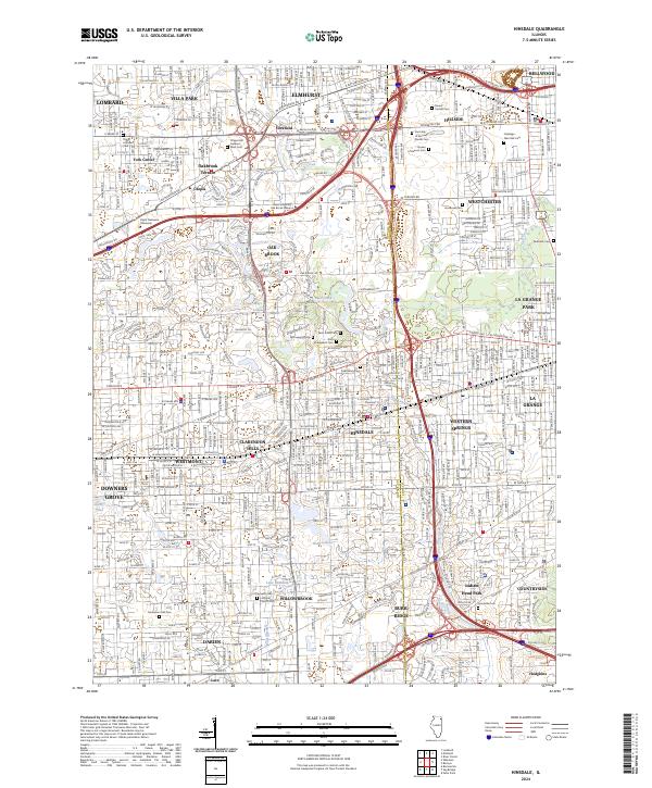
2024 Hinsdale
DuPage County, IL