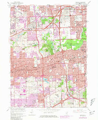
1963 Map of Hinsdale
USGS Topo · Published 1981About this map
The Salt Creek corridor serves as the central spine for this dense suburban landscape, winding through a chain of preserves including Bemis Woods North and Fullersberg Park. By the early 1960s, the western suburbs of Chicago were defined by an extensive network of religious and educational institutions, such as St Joseph Military Academy and Our Lady of Bethlehem Academy. The eastern portion of the sheet is dominated by a massive cluster of memorial parks, featuring the contiguous grounds of Mt Carmel Cemetery, Queen of Heaven Cemetery, and Oak Ridge Cemetery. Transportation infrastructure, specifically the intersection of the Eisenhower Expwy, Tri-State Tollway, and the Burlington Northern railroad, illustrates the post-war transition toward high-speed commuter transit. Pockets of industry, like the Quarry in Hillside, remain visible amid the rapid residential expansion of Western Springs and Hinsdale.
Find a feature on this map
133 named features on this map. Tap any name to fly to it.
Don’t see what you’re looking for? This feature index may not catch every label — zoom into the map to look around manually.
Map Details
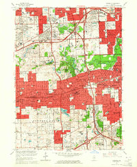
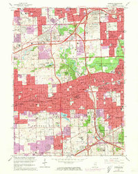
Editions of this 1963 Hinsdale Map
3 editions found
Other maps of this area

1890 · Des Plaines
USGS Topo · 1:62,500

1891 · Riverside
USGS Topo · 1:62,500

1892 · Joliet
USGS Topo · 1:62,500

1893 · Riverside
USGS Topo · 1:62,500

1894 · Des Plaines
USGS Topo · 1:62,500

1900 · Des Plaines
USGS Topo · 1:62,500

1900 · Riverside
USGS Topo · 1:62,500

1901 · Des Plaines
USGS Topo · 1:62,500

1901 · Riverside
USGS Topo · 1:62,500

1908 · Wheaton
USGS Topo · 1:62,500