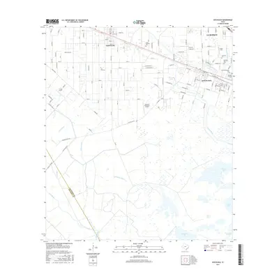
2016 Map of Hitchcock
USGS Topo · Published 2016About this map
Santa Fe, Hitchcock, and La Marque anchor this coastal landscape where the Texas prairie meets the complex bayou systems of the Gulf Coast. The transition from residential blocks to low-lying marshland is marked by an extensive network of waterways, including Halls Bayou, Carancahua Bayou, and Basford Bayou, which eventually drain toward Carancahua Lake and Greens Lake. Significant local history is preserved across several cemeteries, such as Alta Loma Cem and Galveston Memorial Cem, which serve as permanent records of the area's early families.
Find a feature on this map
132 named features on this map. Tap any name to fly to it.
Don’t see what you’re looking for? This feature index may not catch every label — zoom into the map to look around manually.
Map Details
Editions of this 2016 Hitchcock Map
This is the sole edition of this map. No revisions or reprints were ever made.
Other maps of this area

1929 · Dickinson
USGS Topo · 1:24,000

1929 · Karankawa Lake
USGS Topo · 1:24,000

1929 · Algoa
USGS Topo · 1:24,000

1929 · Hitchcock
USGS Topo · 1:24,000

1929 · Virginia Point
USGS Topo · 1:24,000

1929 · Texas City
USGS Topo · 1:24,000

1931 · Lake Como
USGS Topo · 1:24,000

1932 · Algoa
USGS Topo · 1:31,680

1932 · Dickinson
USGS Topo · 1:31,680

1932 · Texas City
USGS Topo · 1:31,680