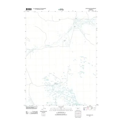
2011 Map of Hoagland NE
USGS Topo · Published 2011About this map
The Logan County ranchlands of central Nebraska are defined by the winding course of Wild Horse Creek and its surrounding marshy basins. This 2011 survey illustrates a sparse settlement pattern centered on private landholdings, such as Rau Ranch and the Schmidt Ranch, which characterize the livestock-driven economy of the region. The landscape transitions from the broad Wild Horse Flats in the north to a dense cluster of small ponds and wetlands in the southern half of the quadrangle. Dunning Rd serves as the primary artery connecting these isolated properties, including the McGooden Ranch and Collier Ranch. This map provides a detailed view of the topographical drainage patterns and grazing land that have sustained local ranching families for generations.
Find a feature on this map
8 named features on this map. Tap any name to fly to it.
Don’t see what you’re looking for? This feature index may not catch every label — zoom into the map to look around manually.
Map Details
Editions of this 2011 Hoagland NE Map
This is the sole edition of this map. No revisions or reprints were ever made.
Other maps of this area

1948 · Linscott
USGS Topo · 1:62,500

1948 · Halsey
USGS Topo · 1:62,500

1950 · Linscott
USGS Topo · 1:62,500

1950 · Halsey
USGS Topo · 1:62,500

1951 · Dunning
USGS Topo · 1:62,500

1951 · Hoagland
USGS Topo · 1:62,500

1954 · North Platte
USGS Topo · 1:250,000

1956 · North Platte
USGS Topo · 1:250,000

1957 · North Platte
USGS Topo · 1:250,000

1967 · North Platte
USGS Topo · 1:250,000