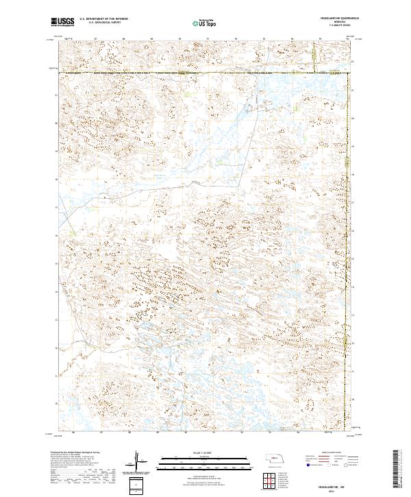
2021 Map of Hoagland NE
USGS Topo · Published 2021About this map
Wild Horse Flats dominates the landscape of this portion of Logan County, characterized by the intricate topography of the Nebraska Sandhills. This 2021 survey reveals a remote landscape defined by ephemeral wetlands and the drainage of Wild Horse Creek, which flows northeast toward the Loup River system beyond the map's boundary. The area's human imprint is sparse, consisting primarily of a geometric grid of section lines and a few critical transit corridors like Dunning Rd and Wild Horse Creek Rd. The convergence of Thomas, Logan, Blaine, and Custer counties at various boundaries highlights the region's intersection of local jurisdictions. This map serves as a vital record for understanding the modern distribution of water and ranch roads across this fragile prairie ecosystem.
Find a feature on this map
17 named features on this map. Tap any name to fly to it.
Don’t see what you’re looking for? This feature index may not catch every label — zoom into the map to look around manually.
Map Details
Editions of this 2021 Hoagland NE Map
This is the sole edition of this map. No revisions or reprints were ever made.
Other maps of this area

1948 · Linscott
USGS Topo · 1:62,500

1948 · Halsey
USGS Topo · 1:62,500

1950 · Linscott
USGS Topo · 1:62,500

1950 · Halsey
USGS Topo · 1:62,500

1951 · Dunning
USGS Topo · 1:62,500

1951 · Hoagland
USGS Topo · 1:62,500

1954 · North Platte
USGS Topo · 1:250,000

1956 · North Platte
USGS Topo · 1:250,000

1957 · North Platte
USGS Topo · 1:250,000

1967 · North Platte
USGS Topo · 1:250,000