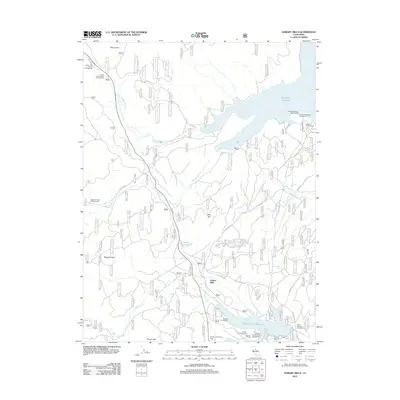
2012 Map of Hobart Mills
USGS Topo · Published 2012About this map
Hobart Mills stands as the primary settlement in this corner of Nevada County, situated amidst a landscape defined by significant water management and recreational infrastructure. The northern reaches are dominated by the Stampede Reservoir, fed by the Little Truckee River, while the southern portion of the quadrangle is anchored by the Prosser Creek Reservoir. These reservoirs, along with the smaller Hobart Reservoir, illustrate the historical and ongoing importance of water storage in the Sierra Nevada foothills.
Find a feature on this map
28 named features on this map. Tap any name to fly to it.
Don’t see what you’re looking for? This feature index may not catch every label — zoom into the map to look around manually.
Map Details
Editions of this 2012 Hobart Mills Map
This is the sole edition of this map. No revisions or reprints were ever made.
Other maps of this area

1890 · Sierraville
USGS Topo · 1:125,000

1891 · Truckee
USGS Topo · 1:125,000

1892 · Sierraville
USGS Topo · 1:125,000

1893 · Truckee
USGS Topo · 1:125,000

1894 · Sierraville
USGS Topo · 1:125,000

1895 · Truckee
USGS Topo · 1:125,000

1932 · Truckee
USGS Topo · 1:96,000

1940 · Truckee
USGS Topo · 1:125,000

1955 · Truckee
USGS Topo · 1:24,000

1955 · Loyalton
USGS Topo · 1:62,500