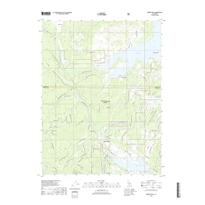
2018 Map of Hobart Mills
USGS Topo · Published 2018About this map
Hobart Mills sits at the heart of this landscape, a site historically defined by the timber industry and its proximity to the waters of the Sierra Nevada. By the early 21st century, the region's character had shifted toward conservation and recreation within the Tahoe National Forest. The map documents a complex network of multi-use trails and forest roads, including the historic Commerative Overland Emigrant route and the Sagehen Nordic Loop, indicating a transition from industrial exploitation to modern land management.
Find a feature on this map
62 named features on this map. Tap any name to fly to it.
Don’t see what you’re looking for? This feature index may not catch every label — zoom into the map to look around manually.
Map Details
Editions of this 2018 Hobart Mills Map
This is the sole edition of this map. No revisions or reprints were ever made.
Other maps of this area

1890 · Sierraville
USGS Topo · 1:125,000

1891 · Truckee
USGS Topo · 1:125,000

1892 · Sierraville
USGS Topo · 1:125,000

1893 · Truckee
USGS Topo · 1:125,000

1894 · Sierraville
USGS Topo · 1:125,000

1895 · Truckee
USGS Topo · 1:125,000

1932 · Truckee
USGS Topo · 1:96,000

1940 · Truckee
USGS Topo · 1:125,000

1955 · Truckee
USGS Topo · 1:24,000

1955 · Loyalton
USGS Topo · 1:62,500