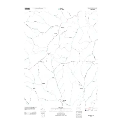
2013 Map of Holbrook
USGS Topo · Published 2013About this map
Holbrook and its neighboring hamlets define this Greene County landscape, where deep valleys and ridgeline roads follow the winding paths of Hargus Creek and Toms Run. The area is characterized by small, dispersed settlements like White Cottage, Bluff, and Pine Bank, connected by a network of rural routes such as Golden Oaks Rd and Bristoria Rd. The geography is shaped by the intricate drainage of the Monongahela River basin, with watercourses like Hoovers Run and Roberts Run carving through the terrain.
Find a feature on this map
75 named features on this map. Tap any name to fly to it.
Don’t see what you’re looking for? This feature index may not catch every label — zoom into the map to look around manually.
Map Details
Editions of this 2013 Holbrook Map
This is the sole edition of this map. No revisions or reprints were ever made.
Other maps of this area

1901 · Waynesburg
USGS Topo · 1:62,500

1904 · Blacksville
USGS Topo · 1:62,500

1904 · Waynesburg
USGS Topo · 1:62,500

1905 · Mannington
USGS Topo · 1:62,500

1905 · Rogersville
USGS Topo · 1:62,500

1923 · Blacksville
USGS Topo · 1:62,500

1923 · Mannington
USGS Topo · 1:62,500

1925 · Blacksville
USGS Topo · 1:62,500

1926 · Mannington
USGS Topo · 1:62,500

1949 · Clarksburg
USGS Topo · 1:250,000