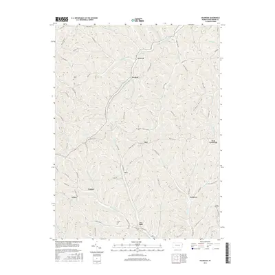
2016 Map of Holbrook
USGS Topo · Published 2016About this map
Hargus Cr and Toms Run carve through the dissected plateau of southwestern Pennsylvania, defining the settlement patterns of this rural corner of Greene County. Small hamlets such as Holbrook, Woodruff, and Bluff are situated along these primary valley floors, while the surrounding ridges are accessed by a network of winding roads like Bristoria Rd and Hargus Creek Rd. The map reveals a deeply rooted local history through its numerous family-named landmarks and burial sites, including the Fordyce Cem, Morris Cem, and Higgins Cem.
Find a feature on this map
78 named features on this map. Tap any name to fly to it.
Don’t see what you’re looking for? This feature index may not catch every label — zoom into the map to look around manually.
Map Details
Editions of this 2016 Holbrook Map
This is the sole edition of this map. No revisions or reprints were ever made.
Other maps of this area

1901 · Waynesburg
USGS Topo · 1:62,500

1904 · Blacksville
USGS Topo · 1:62,500

1904 · Waynesburg
USGS Topo · 1:62,500

1905 · Mannington
USGS Topo · 1:62,500

1905 · Rogersville
USGS Topo · 1:62,500

1923 · Blacksville
USGS Topo · 1:62,500

1923 · Mannington
USGS Topo · 1:62,500

1925 · Blacksville
USGS Topo · 1:62,500

1926 · Mannington
USGS Topo · 1:62,500

1949 · Clarksburg
USGS Topo · 1:250,000