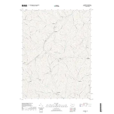
2019 Map of Holbrook
USGS Topo · Published 2019About this map
Holbrook and Woodruff sit at the center of this dissected plateau landscape in Greene County, where deep-cut valleys dictate the settlement patterns. The historic Warrior Trail traverses the ridges from east to west, cutting across the drainages of Hargus Cr and Toms Run. This network of small communities including Bluff, Buzz, and Pine Bank is connected by winding valley roads that follow the winding paths of Hoovers Run and Blockhouse Run. Local history is preserved in numerous family and church burial grounds, such as Macedonia Cem and Roseberry Cem. The abundance of named runs—such as Falling Timber Run and Garner Run—illustrates the intricate hydrology of this rural Pennsylvania borderland, while the absence of heavy industry at this date highlights a landscape defined by small-scale crossroads and traditional Appalachian land use.
Find a feature on this map
83 named features on this map. Tap any name to fly to it.
Don’t see what you’re looking for? This feature index may not catch every label — zoom into the map to look around manually.
Map Details
Editions of this 2019 Holbrook Map
This is the sole edition of this map. No revisions or reprints were ever made.
Other maps of this area

1901 · Waynesburg
USGS Topo · 1:62,500

1904 · Blacksville
USGS Topo · 1:62,500

1904 · Waynesburg
USGS Topo · 1:62,500

1905 · Mannington
USGS Topo · 1:62,500

1905 · Rogersville
USGS Topo · 1:62,500

1923 · Blacksville
USGS Topo · 1:62,500

1923 · Mannington
USGS Topo · 1:62,500

1925 · Blacksville
USGS Topo · 1:62,500

1926 · Mannington
USGS Topo · 1:62,500

1949 · Clarksburg
USGS Topo · 1:250,000