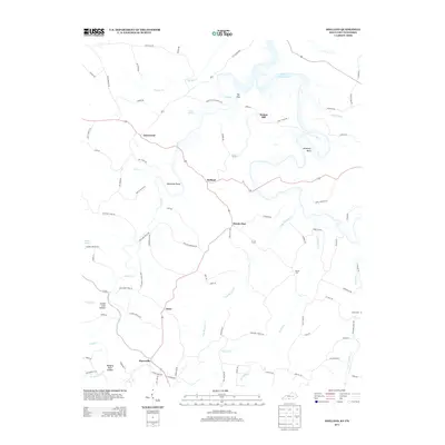
2013 Map of Holland
USGS Topo · Published 2013About this map
Holland and Oak Forest anchor this rural landscape in Allen County during the early 21st century. The map reveals a deeply etched topography where the Barren River Lake reaches into the northern corner, its waters shaped by the winding geography of Jewsharp Bend. The drainage pattern is defined by numerous watercourses including Long Cr, Long Hungry Cr, and Pinchgut Cr, which carve through the terrain to create distinctive features like Emma Cook Hollow and Hanging Rock Hollow.
Find a feature on this map
87 named features on this map. Tap any name to fly to it.
Don’t see what you’re looking for? This feature index may not catch every label — zoom into the map to look around manually.
Map Details
Editions of this 2013 Holland Map
This is the sole edition of this map. No revisions or reprints were ever made.
Other maps of this area

1926 · Scottsville
USGS Topo · 1:62,500

1931 · Lafayette
USGS Topo · 1:62,500

1931 · Red Boiling Springs
USGS Topo · 1:62,500

1953 · Tracy
USGS Topo · 1:24,000

1954 · Austin
USGS Topo · 1:24,000

1954 · Fountain Run
USGS Topo · 1:24,000

1954 · Petroleum
USGS Topo · 1:24,000

1954 · Scottsville
USGS Topo · 1:24,000

1954 · Holland
USGS Topo · 1:24,000

1956 · Corbin
USGS Topo · 1:250,000