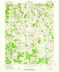
1961 Map of Holland
USGS Topo · Published 1962About this map
Holland anchors the northern portion of this landscape, which is defined by the convergence of four Indiana counties: Dubois, Warrick, Spencer, and Pike. The terrain is marked by a historical diagonal line, the Old Indian Treaty Boundary, which cuts across the townships of Lockhart and Cass. This surveying line stands in contrast to the natural flow of Pokeberry Creek and Sugar Creek, providing a look at early land division in the region.
Find a feature on this map
31 named features on this map. Tap any name to fly to it.
Don’t see what you’re looking for? This feature index may not catch every label — zoom into the map to look around manually.
Map Details
Editions of this 1961 Holland Map
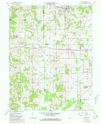
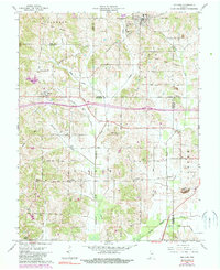
Other maps of this area

1900 · St Meinrad
USGS Topo · 1:62,500

1900 · De Gonia Springs
USGS Topo · 1:62,500

1902 · Ditney
USGS Topo · 1:125,000

1902 · Degonia Springs
USGS Topo · 1:62,500

1903 · St. Meinrad
USGS Topo · 1:62,500

1903 · Velpen
USGS Topo · 1:62,500

1954 · Huntingburg
USGS Topo · 1:24,000

1956 · Vincennes
USGS Topo · 1:250,000

1957 · Vincennes
USGS Topo · 1:250,000

1958 · Vincennes
USGS Topo · 1:250,000