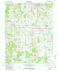
1961 Map of Holland
USGS Topo · Published 1981About this map
The Old Indian Treaty Boundary cuts diagonally across this landscape, marking a historical line of demarcation that still influenced land patterns in the early 1960s. Small rural communities like Holland, Selvin, and Heilman anchor the region, which is defined by the complex drainage of Pokeberry Creek, Little Pigeon Creek, and Sugar Creek. A clear genealogy record is present through numerous family and community burial sites, including Chinn Cem, Wetherill Cem, and Avery Cem. This map also captures the evolving industrial character of southern Indiana, showing Strip Mine activity alongside traditional landmarks such as Indian Fort and rural congregations like Garrison Chapel. Revisions from the late 1970s illustrate the arrival of Interstate 64, a modern transit artery bisecting a terrain once shaped by the river-and-rail era.
Find a feature on this map
33 named features on this map. Tap any name to fly to it.
Don’t see what you’re looking for? This feature index may not catch every label — zoom into the map to look around manually.
Map Details
Editions of this 1961 Holland Map
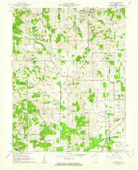
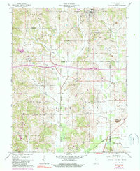
Other maps of this area

1900 · St Meinrad
USGS Topo · 1:62,500

1900 · De Gonia Springs
USGS Topo · 1:62,500

1902 · Ditney
USGS Topo · 1:125,000

1902 · Degonia Springs
USGS Topo · 1:62,500

1903 · St. Meinrad
USGS Topo · 1:62,500

1903 · Velpen
USGS Topo · 1:62,500

1954 · Huntingburg
USGS Topo · 1:24,000

1956 · Vincennes
USGS Topo · 1:250,000

1957 · Vincennes
USGS Topo · 1:250,000

1958 · Vincennes
USGS Topo · 1:250,000