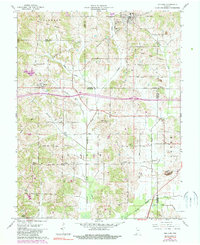
1961 Map of Holland
USGS Topo · Published 1984About this map
The Old Indian Treaty Boundary slices diagonally across this southern Indiana landscape, marking a historical frontier line that predates the modern township and county grids. Centered on Holland, the map documents a rural environment where life centers around family-named settlements and country churches. Communities like Selvin and Heilman anchor the western reaches, while the terrain is dotted with small family and church burial grounds, including St James Cem and Twin Cem.
Find a feature on this map
33 named features on this map. Tap any name to fly to it.
Don’t see what you’re looking for? This feature index may not catch every label — zoom into the map to look around manually.
Map Details
Editions of this 1961 Holland Map
Other maps of this area

1900 · St Meinrad
USGS Topo · 1:62,500

1900 · De Gonia Springs
USGS Topo · 1:62,500

1902 · Ditney
USGS Topo · 1:125,000

1902 · Degonia Springs
USGS Topo · 1:62,500

1903 · St. Meinrad
USGS Topo · 1:62,500

1903 · Velpen
USGS Topo · 1:62,500

1954 · Huntingburg
USGS Topo · 1:24,000

1956 · Vincennes
USGS Topo · 1:250,000

1957 · Vincennes
USGS Topo · 1:250,000

1958 · Vincennes
USGS Topo · 1:250,000