
2010 Map of Hollister
USGS Topo · Published 2010About this map
Hollister and Loveland anchor this Tillman County landscape, where the geometry of the Section Line Road system meets the wandering paths of Deep Red Creek and Little Deep Red Creek. The map records a quiet agricultural era defined by its cemeteries and watercourses, offering important data for family historians. Isadore Cemetery sits near the northern boundary by Horse Creek, while Hollister Cemetery and Loveland Cemetery serve their respective namesake settlements. The extensive network of rural roads, including Pasture Rd and various numbered routes like N2310 Rd, illustrates the persistent township-and-range layout that has dictated Oklahoma's rural development for over a century. The drainage patterns of the creeks provide a sharp contrast to the rigid grid of the surrounding farmland.
Find a feature on this map
24 named features on this map. Tap any name to fly to it.
Don’t see what you’re looking for? This feature index may not catch every label — zoom into the map to look around manually.
Map Details
Editions of this 2010 Hollister Map
This is the sole edition of this map. No revisions or reprints were ever made.
Other maps of this area

1955 · Lawton
USGS Topo · 1:250,000

1957 · Burkburnett
USGS Topo · 1:62,500

1958 · Electra
USGS Topo · 1:62,500

1962 · Chattanooga
USGS Topo · 1:62,500

1974 · Hollister NW
USGS Topo · 1:24,000

1974 · Hackberry Flat
USGS Topo · 1:24,000
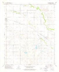
1974 · Hollister
USGS Topo · 1:24,000
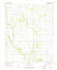
1974 · Hollister NE
USGS Topo · 1:24,000
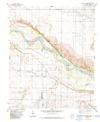
1984 · Cowboy Springs
USGS Topo · 1:24,000
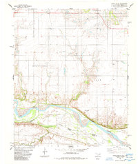
1985 · Augur Creek
USGS Topo · 1:24,000