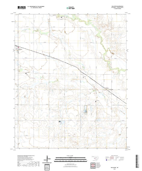
2022 Map of Hollister
USGS Topo · Published 2022About this map
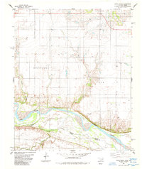
Hollister and Loveland anchor this agricultural landscape in Tillman County, where the topography is defined by the winding drainages of Little Deep Red Creek and Deep Red Creek. The map reveals a deeply-rooted rural community through its preservation of several small burial grounds, including Isadore Cemetery to the north and Amyx Cemetery centrally located. A dense grid of rural roads, such as Pasture Road and County Road NS 235, connects these settlements and the surrounding farms. The hydrography, featuring the convergence of Horse Creek and other tributaries, suggests a terrain shaped by erosion and seasonal water flow, typical of this region's prairie ecology. For those researching local history, the specific naming of streets like Harris Street in Loveland and Majors Avenue in Hollister provides precise locations for twentieth-century homesteads.
Find a feature on this map
34 named features on this map. Tap any name to fly to it.
Don’t see what you’re looking for? This feature index may not catch every label — zoom into the map to look around manually.
Map Details
Editions of this 2022 Hollister Map
This is the sole edition of this map. No revisions or reprints were ever made.
Other maps of this area

1955 · Lawton
USGS Topo · 1:250,000

1957 · Burkburnett
USGS Topo · 1:62,500

1958 · Electra
USGS Topo · 1:62,500

1962 · Chattanooga
USGS Topo · 1:62,500

1974 · Hollister NW
USGS Topo · 1:24,000

1974 · Hackberry Flat
USGS Topo · 1:24,000
1974 · Hollister
USGS Topo · 1:24,000
1974 · Hollister NE
USGS Topo · 1:24,000
1984 · Cowboy Springs
USGS Topo · 1:24,000
1985 · Augur Creek
USGS Topo · 1:24,000