
1953 Map of Holly East
USGS Topo · Published 1954About this map
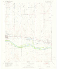
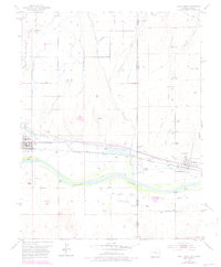
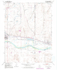
The Arkansas River corridor serves as the primary artery through this high plains landscape, defining the development of Holly and Coolidge along the border of Colorado and Kansas. This 1953 survey captures a landscape engineered for transport and irrigation, where the Atchison Topeka and Santa Fe railroad parallels the river's path, and extensive water works like the Amity Canal and various Ditch systems sustain the local agriculture.
Find a feature on this map
31 named features on this map. Tap any name to fly to it.
Don’t see what you’re looking for? This feature index may not catch every label — zoom into the map to look around manually.
Map Details
Editions of this 1953 Holly East Map
4 editions found
Other maps of this area

1890 · Granada
USGS Topo · 1:125,000

1891 · Albany
USGS Topo · 1:125,000

1892 · Granada
USGS Topo · 1:125,000

1893 · Albany
USGS Topo · 1:125,000

1894 · Granada
USGS Topo · 1:125,000

1900 · Syracuse
USGS Topo · 1:125,000

1920 · Syracuse
USGS Topo · 1:125,000

1953 · Holly West
USGS Topo · 1:24,000

1954 · Lamar
USGS Topo · 1:250,000

1955 · Holly NE
USGS Topo · 1:24,000