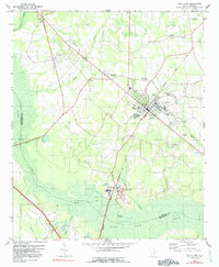
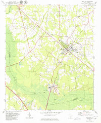
1979 Map of Holly Hill
USGS Topo · Published 1991About this map
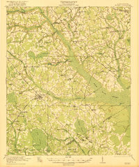
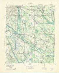
Holly Hill and its surrounding Lowcountry landscape are defined by the convergence of agricultural land and the expansive Horse Range Swamp and Target Swamp. In the late 1970s, the area's infrastructure supported a mix of small-town commerce and rural industry, including multiple Claypit sites located near Four Holes. The Seaboard Coast Line Railroad bisects the region, connecting the primary town to outlying settlements like Wells and Bowyer. Significant for local historians, the survey identifies numerous community cornerstones, including Union Hill Ch, Bethlehem Ch, and New Jerusalem Ch, alongside the Holly Hill Academy. The presence of several Tailings Ponds and the Holly Hill Lookout Tower highlights the industrial and forestry management practices that shaped the Orangeburg and Dorchester county border during this period.
Find a feature on this map
42 named features on this map. Tap any name to fly to it.
Don’t see what you’re looking for? This feature index may not catch every label — zoom into the map to look around manually.
Map Details
Editions of this 1979 Holly Hill Map
2 editions found
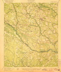
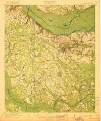
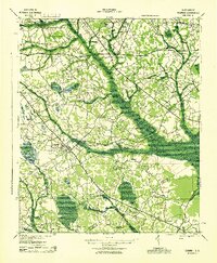
Other maps of this area
1919 · Ridgeville
USGS Topo · 1:48,000

1920 · Eutawville
USGS Topo · 1:48,000

1920 · Bowman
USGS Topo · 1:48,000
1920 · Ridgeville
USGS Topo · 1:62,500

1920 · St. George
USGS Topo · 1:48,000
1921 · Bowman
USGS Topo · 1:62,500
1921 · St. George
USGS Topo · 1:62,500
1921 · Eutawville
USGS Topo · 1:62,500
1943 · Bowman
USGS Topo · 1:62,500
1943 · Orangeburg
USGS Topo · 1:125,000