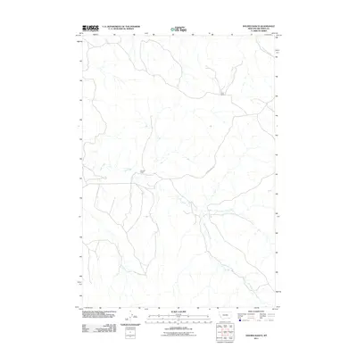
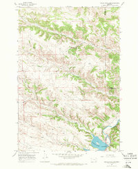
2011 Map of Holmes Ranch
USGS Topo · Published 2011About this map
Holmes Ranch and Porter Ranch serve as the primary human landmarks in this high-plains landscape of Big Horn County, Montana. The terrain is defined by a dendritic drainage network, where Deer Creek meets its northern and southern forks. This system of waterways, including Coal Creek in the northwest and Anderson Creek in the northeast, dictates the layout of local infrastructure. Transportation through this rural area is anchored by the Otter-Decker Rd, which provides a vital corridor through the drainage basins. The map illustrates a contemporary western ranching environment, where named homesteads remain the centers of activity across a landscape shaped by the erosive force of the Montana creek systems.
Find a feature on this map
8 named features on this map. Tap any name to fly to it.
Don’t see what you’re looking for? This feature index may not catch every label — zoom into the map to look around manually.
Map Details
Editions of this 2011 Holmes Ranch Map
This is the sole edition of this map. No revisions or reprints were ever made.
Other maps of this area
1909 · Sheridan
USGS Topo · 1:125,000
1911 · Sheridan
USGS Topo · 1:125,000

1954 · Hardin
USGS Topo · 1:250,000

1955 · Sheridan
USGS Topo · 1:250,000

1957 · Hardin
USGS Topo · 1:250,000

1958 · Hardin
USGS Topo · 1:250,000

1958 · Sheridan
USGS Topo · 1:250,000

1962 · Sheridan
USGS Topo · 1:250,000
1967 · Holmes Ranch
USGS Topo · 1:24,000
1967 · Tongue River Dam
USGS Topo · 1:24,000