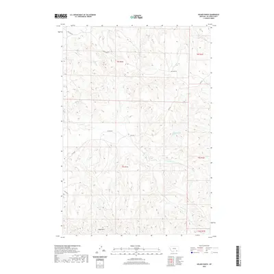
2020 Map of Holmes Ranch
USGS Topo · Published 2020About this map
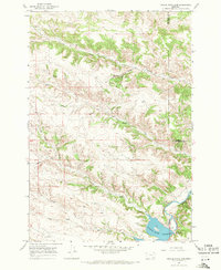
Holmes Ranch sits at the heart of this high-plains landscape in Big Horn County, where the drainages of the N Fork Deer Cr and S Fork Deer Cr converge to form Deer Cr. This modern topographic survey reveals the intricate network of coulees and draws that define the southeastern Montana cattle country. The southern portion of the map is dominated by the Badger Hills, while narrow corridors like Otter Rd and Deer Creek Rd provide the primary access through this sparsely populated region. Water remains the most critical resource in this arid environment, marked by named sources such as 09S41E12BPCD01 Spring and numerous ephemeral reaches like Coal Cr and Corral Cr. The map preserves the specific grazing land divisions of the early twenty-first century, showing the enduring ranching layout of the Powder River Basin area.
Find a feature on this map
17 named features on this map. Tap any name to fly to it.
Don’t see what you’re looking for? This feature index may not catch every label — zoom into the map to look around manually.
Map Details
Editions of this 2020 Holmes Ranch Map
This is the sole edition of this map. No revisions or reprints were ever made.
Other maps of this area
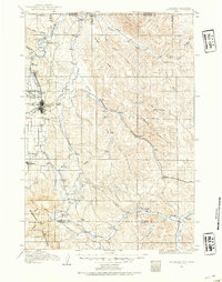
1909 · Sheridan
USGS Topo · 1:125,000
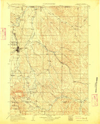
1911 · Sheridan
USGS Topo · 1:125,000

1954 · Hardin
USGS Topo · 1:250,000

1955 · Sheridan
USGS Topo · 1:250,000

1957 · Hardin
USGS Topo · 1:250,000

1958 · Hardin
USGS Topo · 1:250,000

1958 · Sheridan
USGS Topo · 1:250,000

1962 · Sheridan
USGS Topo · 1:250,000
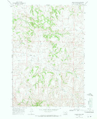
1967 · Holmes Ranch
USGS Topo · 1:24,000
1967 · Tongue River Dam
USGS Topo · 1:24,000