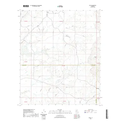
2020 Map of Holum
USGS Topo · Published 2020About this map
Holum and the surrounding piney wetlands of the Louisiana interior appear in this 2020 landscape, where the parish boundaries of Caldwell, LaSalle, and Catahoula converge. The terrain is defined by an intricate network of waterways, including the winding course of Black Bayou and the prominent Bayou Dan Hills to the east. The map records several small burial grounds tied to local families and congregations, such as Little Star Cem, Lowe Cem, and Pine Grove Cem, which serve as vital markers for genealogical research in this rural region.
Find a feature on this map
60 named features on this map. Tap any name to fly to it.
Don’t see what you’re looking for? This feature index may not catch every label — zoom into the map to look around manually.
Map Details
Editions of this 2020 Holum Map
This is the sole edition of this map. No revisions or reprints were ever made.
Other maps of this area

1939 · Fort Necessity
USGS Topo · 1:62,500

1940 · Columbia
USGS Topo · 1:62,500

1941 · Harrisonburg
USGS Topo · 1:62,500

1953 · Alexandria
USGS Topo · 1:250,000

1953 · Natchez
USGS Topo · 1:250,000

1955 · Jackson
USGS Topo · 1:250,000

1955 · Shreveport
USGS Topo · 1:250,000

1955 · Alexandria
USGS Topo · 1:250,000

1955 · Olla
USGS Topo · 1:62,500

1956 · Shreveport
USGS Topo · 1:250,000