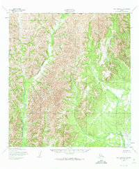
1952 Map of Holy Cross D-5
USGS Topo · Published 1973About this map
Stuyahok River and the Bonasila River define the drainage patterns of this Alaskan interior landscape as it was documented in the early 1950s. The terrain is marked by significant elevation changes, though the lack of named peaks or settlements underscores the wilderness character of the region during this era. Surveyed by the Army Map Service and published for civil use, the map serves as a primary record of the northern boundary of the Seward Meridian. The intricate contour lines trace the high ridges and steep valleys between these two river systems, illustrating a landscape defined entirely by its natural hydrology and the lines of the Public Land Survey System rather than human habitation or infrastructure.
Find a feature on this map
3 named features on this map. Tap any name to fly to it.
Don’t see what you’re looking for? This feature index may not catch every label — zoom into the map to look around manually.
Map Details
Editions of this 1952 Holy Cross D-5 Map
3 editions found
Other maps of this area

1951 · Unalakleet
USGS Topo · 1:250,000

1951 · Holy Cross
USGS Topo · 1:250,000

1952 · Unalakleet A-4
USGS Topo · 1:63,360

1952 · Unalakleet A-5
USGS Topo · 1:63,360

1952 · Holy Cross C-6
USGS Topo · 1:63,360

1952 · Holy Cross C-5
USGS Topo · 1:63,360

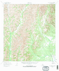
1952 · Holy Cross D-5
USGS Topo · 1:63,360

1952 · Holy Cross D-4
USGS Topo · 1:63,360

1952 · Holy Cross C-4
USGS Topo · 1:63,360

1952 · Unalakleet A-6
USGS Topo · 1:63,360