
1920 Map of Home
USGS Topo · Published 1920About this map
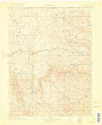
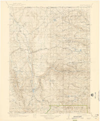
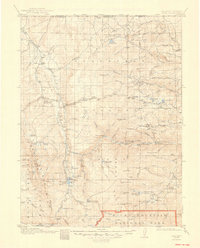
Green Ridge and the high peaks of the Colorado National Forest dominate this high-altitude landscape during the early twentieth century. The map details the remote settlements and infrastructure of northern Larimer County, where ranching and forest management shaped the local economy. Established outposts like Glendevey, The Rustic, and Home appear alongside several family-named landmarks including Williams Ranch and Ramsey Ranch.
Find a feature on this map
97 named features on this map. Tap any name to fly to it.
Don’t see what you’re looking for? This feature index may not catch every label — zoom into the map to look around manually.
Map Details
Editions of this 1920 Home Map
4 editions found
Other maps of this area

1895 · Laramie
USGS Topo · 1:125,000

1902 · Laramie
USGS Topo · 1:125,000

1905 · Sherman
USGS Topo · 1:125,000

1905 · Laramie
USGS Topo · 1:125,000

1905 · Mount Olympus
USGS Topo · 1:62,500

1906 · Medicine Bow
USGS Topo · 1:125,000

1906 · Laramie
USGS Topo · 1:125,000

1907 · Mount Olympus
USGS Topo · 1:62,500

1907 · Livermore
USGS Topo · 1:125,000

1908 · Laramie
USGS Topo · 1:125,000