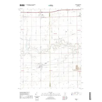
2018 Map of Homer
USGS Topo · Published 2018About this map
Homer sits at the southern edge of this survey, where the grid of rural roads meets the winding path of the Salt Fork. This 2018 depiction of the east-central Illinois landscape reveals the persistent agricultural geometry of the Champaign Co / Vermilion Co line. A notable site for genealogists and local historians is the Homer Grand Army of the Republic Cem, a dedicated resting place for Civil War veterans located just north of the village. The terrain is defined by the drainage of several local waterways including Conkey Branch, Olive Br, and Veazel Br. To the north, the settlements of Ogden and Fithian are situated along the corridor that parallels the railroad and interstate, while Wilson Airport and Homer Lake provide distinct recreational and transportation landmarks amidst the surrounding farmland.
Find a feature on this map
45 named features on this map. Tap any name to fly to it.
Don’t see what you’re looking for? This feature index may not catch every label — zoom into the map to look around manually.
Map Details
Editions of this 2018 Homer Map
This is the sole edition of this map. No revisions or reprints were ever made.
Other maps of this area

1906 · Urbana
USGS Topo · 1:62,500

1931 · Fithian
USGS Topo · 1:48,000

1943 · Fithian
USGS Topo · 1:62,500

1953 · Danville
USGS Topo · 1:250,000

1953 · Indianapolis
USGS Topo · 1:250,000

1955 · Danville
USGS Topo · 1:250,000

1956 · Danville
USGS Topo · 1:250,000

1956 · Indianapolis
USGS Topo · 1:250,000

1956 · Newman
USGS Topo · 1:62,500

1956 · Villa Grove
USGS Topo · 1:62,500