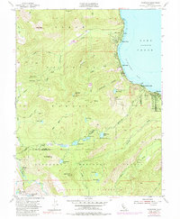
1955 Map of Homewood
USGS Topo · Published 1984About this map
The western shores of Lake Tahoe reveal a mid-century landscape of established lakeside communities and high-altitude wilderness along the Placer and El Dorado county line. Developed settlements like Homewood, Tahoe Pines, and Tahoma cluster along the shoreline of McKinney Bay, where Chambers Lodge serves as a prominent landmark. These residential and resort areas are bounded to the south by Sugar Pine Point State Park, reflecting the early preservation of the Tahoe shoreline.
Find a feature on this map
55 named features on this map. Tap any name to fly to it.
Don’t see what you’re looking for? This feature index may not catch every label — zoom into the map to look around manually.
Map Details
Editions of this 1955 Homewood Map
4 editions found
Other maps of this area

1889 · Pyramid Peak
USGS Topo · 1:125,000

1891 · Truckee
USGS Topo · 1:125,000

1891 · Pyramid Peak
USGS Topo · 1:125,000

1893 · Truckee
USGS Topo · 1:125,000

1895 · Pyramid Peak
USGS Topo · 1:125,000

1895 · Truckee
USGS Topo · 1:125,000

1896 · Pyramid Peak
USGS Topo · 1:125,000

1932 · Truckee
USGS Topo · 1:96,000

1940 · Truckee
USGS Topo · 1:125,000

1947 · Sacramento
USGS Topo · 1:250,000