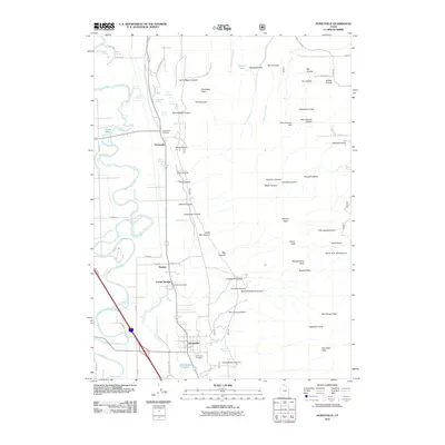
2011 Map of Honeyville
USGS Topo · Published 2011About this map
Honeyville and Deweyville anchor this 2011 survey, sitting at the base of a canyon-carved mountain range where the valley floor meets the wetlands of the Bear River. The landscape is defined by its complex hydrology, featuring numerous thermal and freshwater sources such as Crystal Springs, Tolman Springs, and the Cold Spring Lakes. These water resources supported the local economy, most notably at the Crystal Spring Resort, while the town sites reflect a long history of irrigation-based settlement along the corridor of Salt Creek.
Find a feature on this map
86 named features on this map. Tap any name to fly to it.
Don’t see what you’re looking for? This feature index may not catch every label — zoom into the map to look around manually.
Map Details
Editions of this 2011 Honeyville Map
This is the sole edition of this map. No revisions or reprints were ever made.
Other maps of this area

1914 · Logan
USGS Topo · 1:125,000

1916 · Logan
USGS Topo · 1:125,000

1954 · Ogden
USGS Topo · 1:250,000

1954 · Brigham City
USGS Topo · 1:250,000

1955 · Bear River City
USGS Topo · 1:24,000

1955 · Mount Pisgah
USGS Topo · 1:24,000

1955 · Brigham City
USGS Topo · 1:24,000

1958 · Ogden
USGS Topo · 1:250,000

1958 · Brigham City
USGS Topo · 1:250,000

1960 · Ogden
USGS Topo · 1:250,000