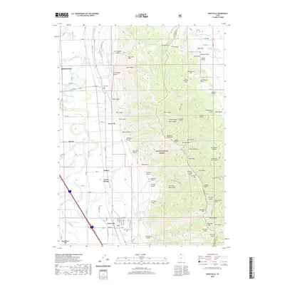
2020 Map of Honeyville
USGS Topo · Published 2020About this map
The Bear River meanders across the western valley floor of this northern Utah landscape, which is defined by the sharp transition between agricultural lowlands and the steep slopes of the Wasatch Range. The settlement pattern follows the base of the mountains, where communities like Honeyville and Deweyville took advantage of the many natural water sources flowing from the heights, including Honeyville Springs and Dewey Spring. Further west, the irrigation and transport corridor supports Tremonton and Elwood.
Find a feature on this map
135 named features on this map. Tap any name to fly to it.
Don’t see what you’re looking for? This feature index may not catch every label — zoom into the map to look around manually.
Map Details
Editions of this 2020 Honeyville Map
This is the sole edition of this map. No revisions or reprints were ever made.
Other maps of this area

1914 · Logan
USGS Topo · 1:125,000

1916 · Logan
USGS Topo · 1:125,000

1954 · Ogden
USGS Topo · 1:250,000

1954 · Brigham City
USGS Topo · 1:250,000

1955 · Bear River City
USGS Topo · 1:24,000

1955 · Mount Pisgah
USGS Topo · 1:24,000

1955 · Brigham City
USGS Topo · 1:24,000

1958 · Ogden
USGS Topo · 1:250,000

1958 · Brigham City
USGS Topo · 1:250,000

1960 · Ogden
USGS Topo · 1:250,000